
File:Ramnagar fort.JPG

Size of this preview: 800 × 563 pixels. Other resolutions: 320 × 225 pixels | 640 × 451 pixels | 1,024 × 721 pixels | 1,280 × 901 pixels | 2,560 × 1,803 pixels | 4,608 × 3,245 pixels.
Original file (4,608 × 3,245 pixels, file size: 2.36 MB, MIME type: image/jpeg)
| This is a file from the Wikimedia Commons. Information from its description page there is shown below. Commons is a freely licensed media file repository. You can help. |
Summary
| Description |
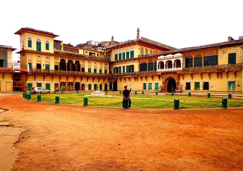
English: It is located near the Ganges River on its eastern bank, opposite to the Tulsi Ghat. The structure was built in 1750 by Kashi Naresh Raja Balwant Singh with cream coloured chunar sandstone. |
| Date | |
| Source | https://www.panoramio.com/user/vsvinaykumar |
| Author | vsvinaykumar |
| Camera location | | View this and other nearby images on: OpenStreetMap |
|---|
Licensing

|
The copyright holder of this file allows anyone to use it for any purpose, provided that the copyright holder is properly attributed. Redistribution, derivative work, commercial use, and all other use is permitted. |
|
|
File history
Click on a date/time to view the file as it appeared at that time.
| Date/Time | Thumbnail | Dimensions | User | Comment | |
|---|---|---|---|---|---|
| current | 18:51, 16 December 2013 | | 4,608 × 3,245 (2.36 MB) | Cropbot | upload cropped version, operated by User:Andy king50. Summary: cropped |
| 09:17, 9 August 2013 |  | 4,608 × 3,456 (1.82 MB) | Vsvinaykumar2 | User created page with UploadWizard |
File usage
The following pages on the English Wikipedia use this file (pages on other projects are not listed):
Global file usage
The following other wikis use this file:
- Usage on es.wikipedia.org
- Usage on id.wikipedia.org
- Usage on ja.wikipedia.org
- Usage on kn.wikipedia.org
- Usage on ta.wikipedia.org